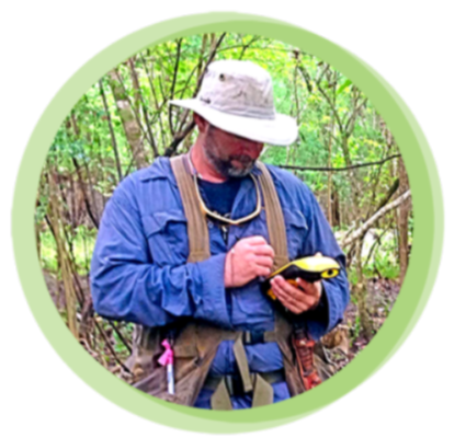
Mr. Busalacchi is project ecologist, with broad experience in the fields of ecology and geospatial modeling.
His professional focus is in geospatial data recording, GIS mapping and modeling, mapping and permit exhibit creation, field wetland delineation and mitigation monitoring. He has experience with Trimble Terrasync and ArcPad Geo7x and GeoXT units for data collection. Additionally, Mr. Busalacchi is a licensed drone pilot and has conducted extensive drone-based data collection and captured high quality photo documentation used to create landscape-scale functional assessments. His drone capabilities enable comprehensive mapping of sites used for large scale habitat assessments, mitigation, cultural resource preservation and timber management.
Mr. Busalacchi brings his prior experience as a Special Projects Analysist and GIS Analyst for the Florida Department of Environmental Protection to the private sector to produce highly detailed and comprehensive mapping products for mitigation parcels as well as development projects.
Professional experience in Mitigation includes creation and implementation of monitoring protocols, yearly mitigation monitoring on numerous sites, mitigation site selection, Alternative Sites Analysis for mitigation area selection. Mr. Busalacchi developed a database to manage mitigation data collection and reporting for Breakfast Point Mitigations Bank and Devil’s Swamp Mitigation Bank, as well as other restoration areas.
Mr. Busalacchi lives in Tallahassee, where he is an avid cyclist.